Mapping helps make the invisible visible.
Why Bioregional Mapping
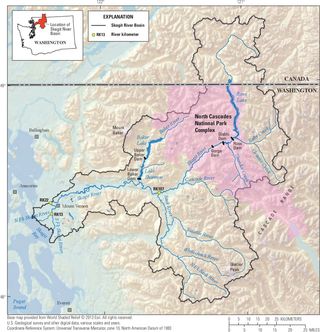
Bioregional mapping matters because it starts with how life actually works where we live.
Before policies, before programs, before big plans, there is land, water, soil, weather, and the people who depend on them. A bioregional map helps a community see those relationships clearly—where food comes from, where water flows, what sustains us, and what is under strain.
When people can see the systems they rely on, responsibility becomes tangible. Care stops being abstract. Decisions stop being distant. The map becomes a shared reference point for conversation, cooperation, and repair.
This kind of mapping doesn’t tell people what to do. It helps them notice what is already true. From there, communities can begin to rebuild systems that fit their place, support life, and remain understandable at human scale.
As these systems take shape, questions of power inevitably follow—who decides, who benefits, who bears the consequences. Bioregional mapping doesn’t solve that on its own, but it creates the conditions where those questions can be faced honestly, in place, by the people who live with the results.
It’s a first step toward regeneration because it brings life, limits, and responsibility back into view—together.
Next Steps
This ongoing project connects current regeneration efforts by beginning with the oldest stories of a place — land and water, ecosystems and seasons — and continuing through human cultures, relationships, and care practices.
Participants contribute observations, stories, photographs, and notes gathered through Regenerate Skagit events and daily life. Personal observation becomes shared story.
Rather than a static product, this is a living document that evolves as understanding deepens. The map helps guide how we live, work, and care for this place together.